Rincon Beach Park at the Ventura/Santa Barbara County Line
/
Rincon Beach Park is near the Ventura/Santa Barbara County line just a few miles east of Carpinteria. Just take the Bates Road offramp off the 101 Freeway (or type in Bates Road and Rincon Point Road, Carpinteria). Take Bates to the ocean and on the right you'll find plenty of free parking and easy beach access, with picnic tables and restrooms.
If you make a left turn off of Bates, there's a separate parking lot for Rincon Point, part of Carpinteria State Beach, one of the most popular surf destinations in the world. There are a couple of restrooms on this side also, albeit not particularly pleasant ones to use.
Campfires are not allowed on the beach.
To learn more about Rincon Beach Park or to reserve the picnic table, visit www.countyofsb.org/842/Rincon-Beach-Park or call 805.568.2465.

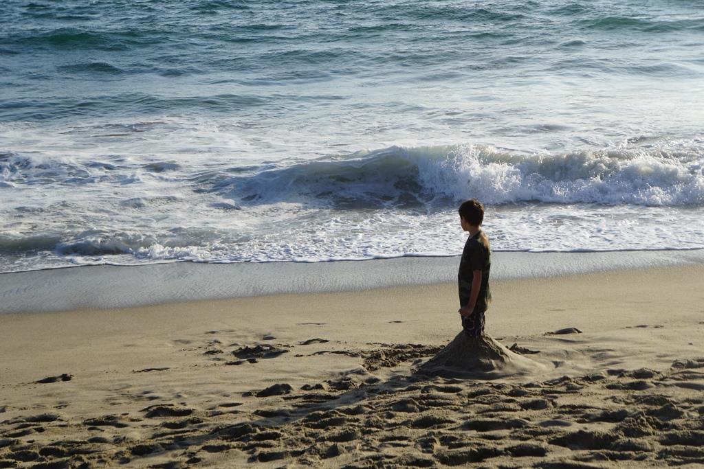
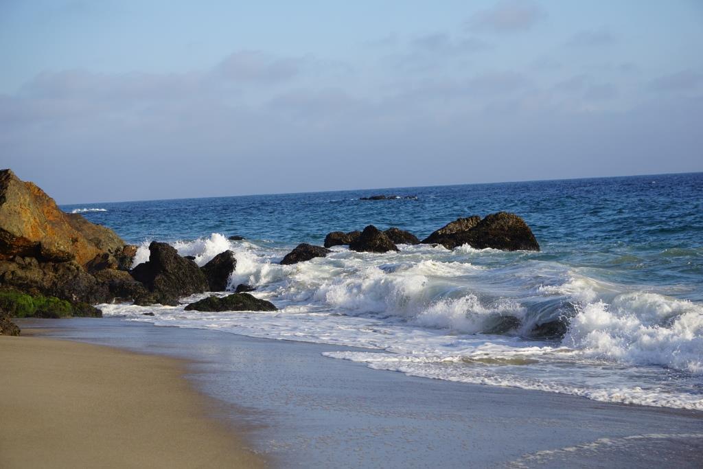
Views from the picnic area at Rincon Beach Park

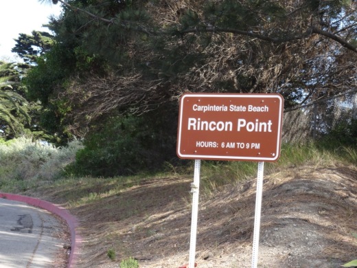
This sign always makes for great conversation starters at Rincon Beach Park