Thornhill Broome Campground in Point Mugu State Park
/
Thornhill Broome Family Campground is located at 9000 Pacific Coast Highway in Point Mugu State Park. The beachfront campground offers 68 tent/RV spaces. There are no hookups for RVs or flush toilets; just chemical toilets and cold outside showers. However, you are camping ON THE BEACH!

Sites have picnic tables and fire rings. Pets are allowed on leash in the campground. Reserve a spot at www.reservecalifornia.com (type in Point Mugu SP to find Thornhill Broome). Be aware that summer months in particular book up way in advance.
Keep in mind that there is no shade when you camp at the beach. So if you don't have an RV, be sure to bring a canopy and/or umbrella.
Thornhill Broome Beach is across from the gigantic sand dune that provides for a great workout and views. And due east is Sycamore Cove and Sycamore Canyon Campground (both also in Point Mugu State Park)...which of course is the most direct path...albeit by foot or bike...to Newbury Park and the Conejo Valley from the beach.
And of course the Sycamore Canyon Campground is across from Sycamore Cove, if you're looking for additional camping possibilities.

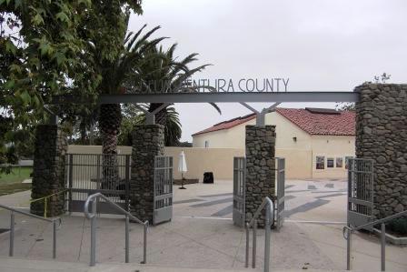
Traveling southeast on PCH from Oxnard/Camarillo; this sign tells you you're just about there.
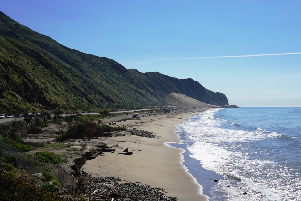

The cool, massive sand dune across from Thornhill Broome Beach (be careful crossing PCH!).