
Ranch Center Road, Wood Canyon Fire Road and Other Trails in Northern Point Mugu State Park
/
Northern Point Mugu State Park map image courtesy National Park Service
Point Mugu State Park in the Santa Monica Mountains stretches from Newbury Park to the ocean, over 14,000 acres of land and 70 miles of trails. Visit this link for more information.
If you ever get the time and energy, consider exploring the trails in the northernmost section of Point Mugu State Park. To access these trails, you can start at Rancho Sierra Vista/Satwiwa in Newbury Park and make your way up Big Sycamore Canyon Road, then, down, down, down the big paved hill into the canyons of Point Mugu State Park.

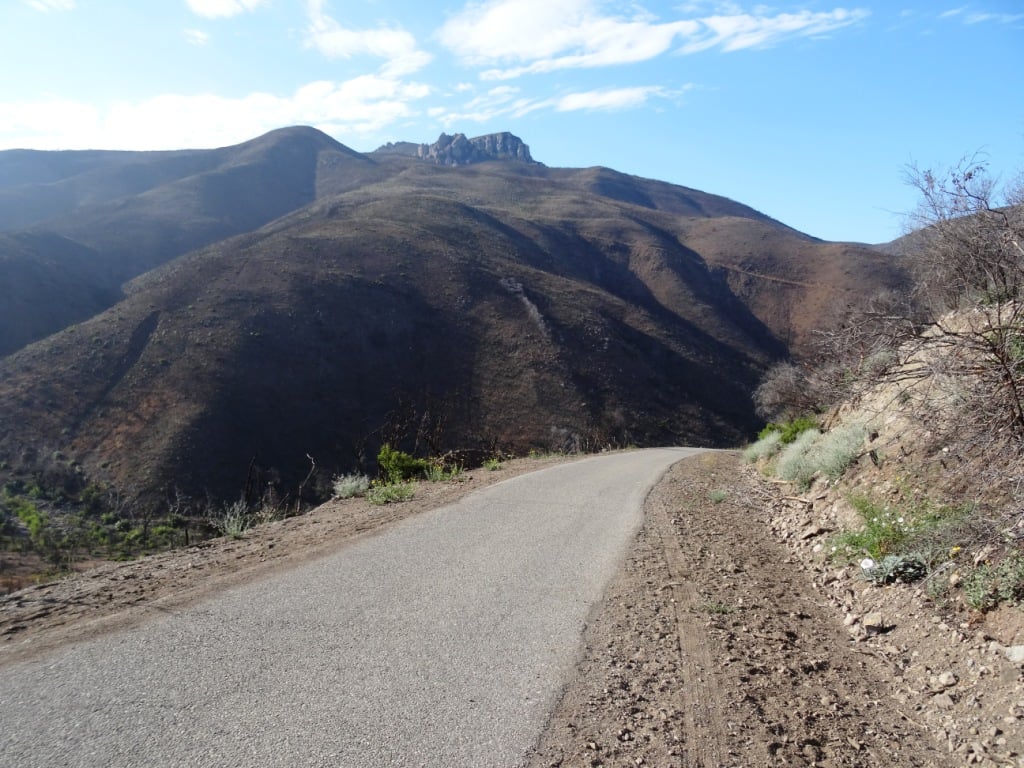
The descent down into the canyon on Big Sycamore Canyon Road is pretty steep. Watch for cyclists. Boney Mountain is seen in the distance.
The descent into the canyon is about 3/4 mile. From there, you'll go another mile or so until you see a fork in the road. If you go straight (veering slightly left), you'll continue down Big Sycamore Canyon Road towards PCH. But if you turn right, you're on Ranch Center Road, a gradual, steady climb up an old, paved hill.
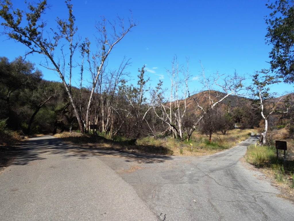
Juncture of Big Sycamore Canyon Road (left) and Ranch Center Road (right).
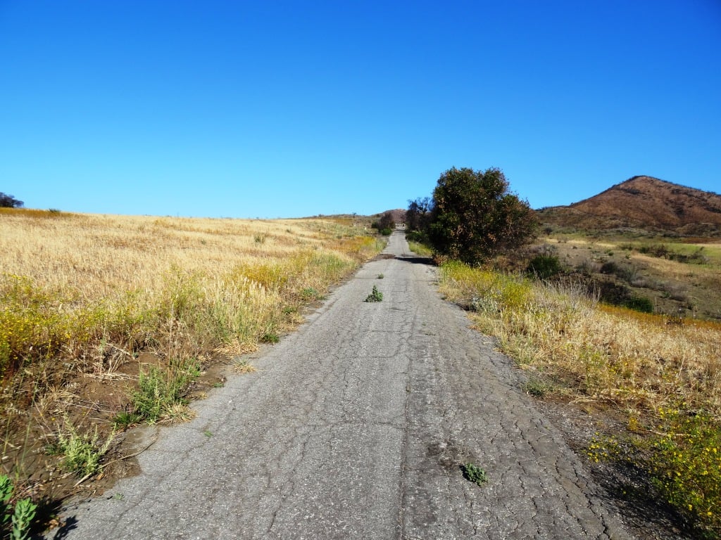
This is one section of Ranch Center Road. As you can see, this is a pretty old road that was used by the ranchers who lived here before the land was acquired by California State Parks.
You are highly unlikely to see a lot of people down here. You might see a couple cyclists from time to time, but hikers/runners in these quiet areas are, from my experience, pretty rare in appearance. It feels like you're going to the middle of nowhere.
You will also notice that there are several trails that connect with the road, including, from east to west, the Sin Nombre Trail, Sage Trail, Ranch Center Fire Trail, Coyote Trail and, finally, the Wood Canyon Fire Road trail. All of these trails will either take you back to Big Sycamore Canyon Road or other trails that will allow you to do a loop back up to Rancho Sierra Vista. You can add another 4 miles to your adventure by checking out the Guadalasca Trail that connects to the Wood Canyon Fire Road. See detailed map here.


Old water tank seen at the juncture of Ranch Center Road (paved) and Ranch Center Fire Road (trail).
After you pass the water tank seen above, you continue downhill towards the remains of some old ranch houses. Pretty much everything has been demolished but you'll see some vintage items still on hand, along with signs warning you to stay outta there.

You've reached what used to be the Ranch Center.

Not sure if this would sell on Craigslist.

The old ranch house area is at the juncture of Ranch Center Road and Wood Canyon Fire Road. I particularly enjoying running down Wood Canyon Fire Road as it is so quiet and there is nice tree coverage.

More Wood Canyon Fire Road
Wood Canyon Fire Road runs south until it connects with the "Loop Trail" (west) or continues east back towards the Two Foxes Trail (parallels Big Sycamore Canyon Road) and then Big Sycamore Canyon Road, where you can veer back up north towards Newbury Park.
