Bike Path in Oxnard at Oxnard Beach Park to Channel Islands Harbor
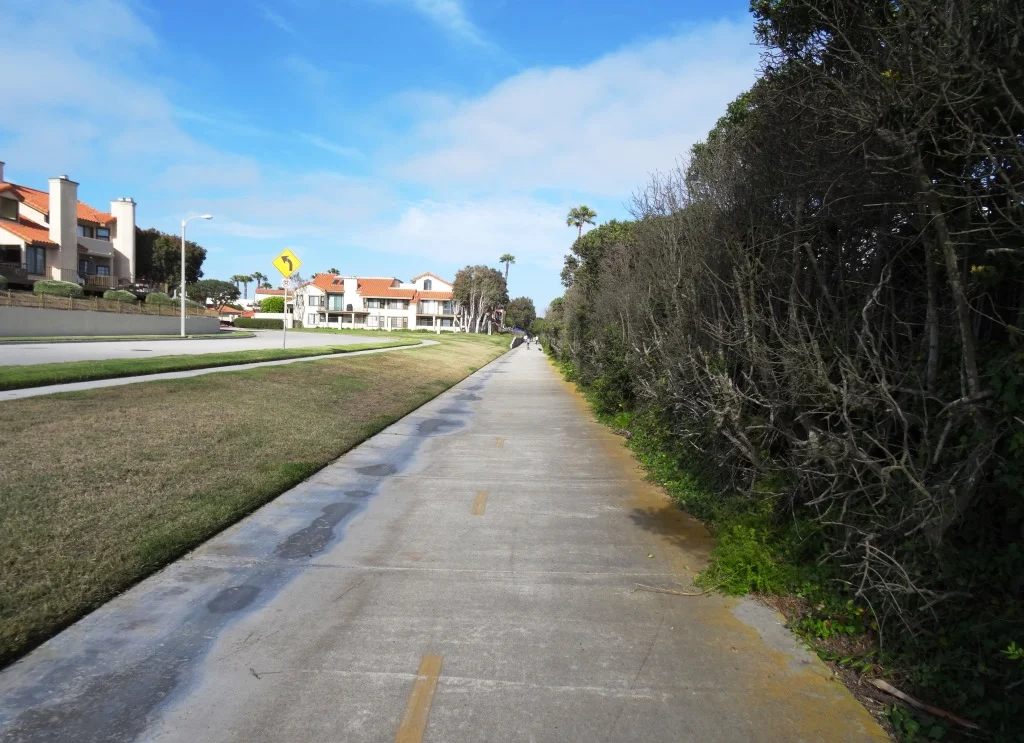
/There's a bike path that starts at the ocean side of ‘ololkoy (formerly Oxnard) Beach Park at Mandalay Beach Road at Beach Way and takes you south all the way to Hollywood Beach and Channel Islands Harbor. Alternatively you can just park at the ‘ololkoy Beach Park and go from there. It is roughly 3/4 of a mile one way to Harbor Boulevard.
Cross Harbor Boulevard and make your way into Channel Islands Harbor, where you can ride all the way to the south end of the harbor.

Entrance to bike path at Mandalay Beach Road and Beach Way

There's a loop you can do around ‘ololkoy Beach Park

The bike path continues south and goes around the Embassy Suites Mandalay Beach Hotel
Soon after passing the hotel, the path swing east towards Harbor Boulevard
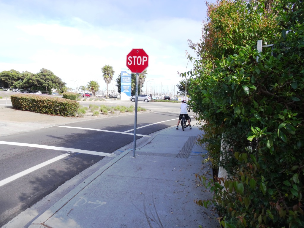
At Harbor Boulevard, you can cross over to Channel Islands Harbor or veer right (west) on West Channel Islands Boulevard towards Hollywood Beach.

plenty of sand at Hollywood Beach. There's a restroom facility here. You can bike along Ocean Drive, which parallels the beach, to an entry point. do note that you are no longer on a bike path. you can continue south on Ocean Drive until its endpoint, where you turn left on South Harbor Boulevard past Channel View Park, where you will soon reach Channel Islands Harbor.

On S. Harbor Boulevard going north now, you will be able to take a right (east) turn on Albacore Way to get to the nice pedestrian/bike path along Channel Islands Harbor. It will take you past the Channel Islands Maritime Museum and marina, where there are restaurants and other things to do.

Pretty cool place to ride bikes at the harbor...and rarely crowded in my experience.

If you and the kids are up to it and want a longer ride, after reaching the north side of the Harbor, you can take Harbor Boulevard back over to W. Channel Islands Boulevard over the bridge to the middle of the Harbor. There's a popular Toppers Pizza over there. Or go the east side of the Harbor.
Other options of course include parking at the Channel Islands Harbor somewhere and cycling your way up to the Oxnard Beach Park. And you can also pedal your way over to S. Victoria Avenue and take the bike lane all the way down to Silverstrand Beach (or even park at Silverstrand and ride your way up from there...though do take not that this is not a bike path). Have fun!