McGrath Family Farm in Camarillo
/
McGrath Family Farm at 1012 West Ventura Blvd, Camarillo (take the Central Avenue offramp from the 101...McGrath is just south of the freeway) is a sustainable farm that grows organic fruits, vegetables and flowers for the local community.
The Farm Market is open Wednesday through Saturday, 10am to 4pm and Sunday 11am to 4pm.
We've been here numerous times over the years and I just love the fresh fruit and veggies available most of the year. You can find some nice locally grown gems here like heirloom tomatoes, strawberries, avocados and so much more.
Or pick your own for $10, plus the cost of the produce. Picking season generally starts around April 15th each year.
For more information, visit www.storeatmcgrath.com or call 805.983.0333.


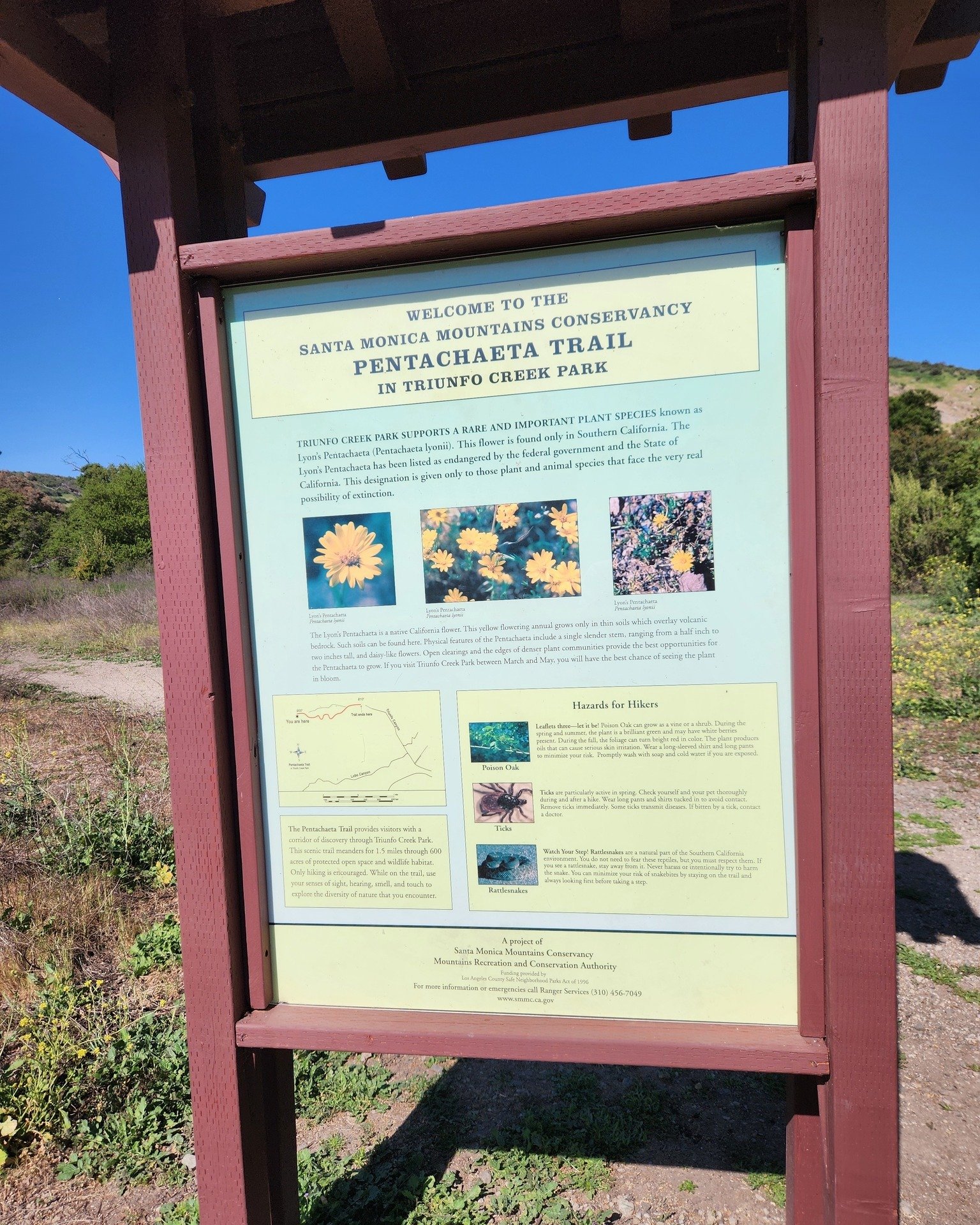
McGrath Farm Tours (as of September 2012)

Feeding the animals at McGrath Family Farm.