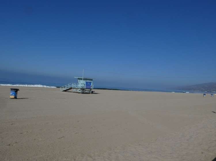
Rincon Point in Carpinteria
/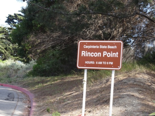
Rincon Point is home to one of the most popular surfing spots in the world. Accessible near the Ventura/Santa Barbara County line just a few miles east of Downtown Carpinteria. Take the Bates Avenue offramp off the 101 Freeway towards the ocean. On the right is access to the City of Carpinteria's Rincon Beach Park and on the left is access to the Rincon Point parking area. Open 6am to 9pm daily, with a not-particulary-nice porta-john available in the parking area.
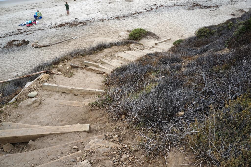
There is a trail that takes you to the beach area from the parking lot. The area is also surrounded by beach homes.


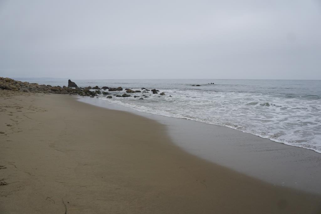
A view toward the north from Rincon Point (in the direction of Rincon Beach Park).
THE BEACH BOYS INCLUDED A REFERENCE TO RINCON IN SURFIN' SAFARI:
At Huntington and Malibu
They're shooting the pier
At Rincon they're walking the nose
We're going on safari to the islands this year
So if you're coming get ready to go