Arroyo Sequit Site - Santa Monica Mountains in Malibu Hills
/NOTE: Arroyo Sequit has been closed until further notice as a result of the Woolsey Fire in November 2018. Updates at www.nps.gov/samo/planyourvisit/conditions.htm and www.nps.gov/samo/planyourvisit/arroyosequit.htm.
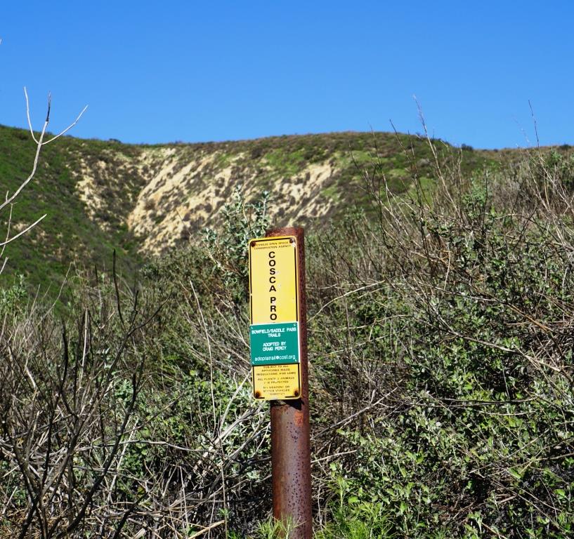
The National Park Service maintains a relatively small site called Arroyo Sequit in the Santa Monica Mountains, located at 34138 Mulholland Highway in Malibu. It is a bit off the beaten path, about 2 miles west of Decker Road. It is also easy to overlook coming from the east, as there doesn't appear to be a sign (like the sign below if you're coming east on Mulholland from the other direction).

Sign coming eastbound on mulholland; no such sign that I could find coming westbound.
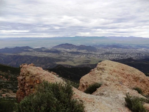
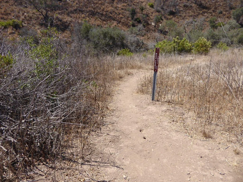
The site features a 1 1/2 mile nature trail with rolling hills, wildflowers and I've been told a stream (though I did not find it in my visit there).
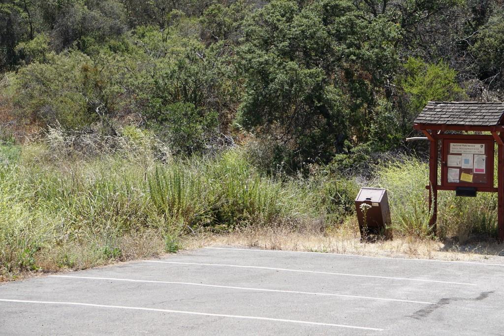
Quite a small parking area at this remote location.
It is quiet back here, so if you're looking for a peaceful stroll, check it out. It takes about 20 minutes to get to the Arroyo Sequit from the 101 via Westlake Boulevard/Decker Canyon.
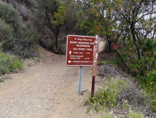
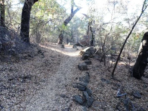
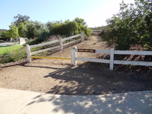
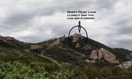
CLICK HERE FOR OVER 50 LOCAL HIKES AND TRAILS IN VENTURA COUNTY AND SURROUNDING AREAS
There's an area with several benches that is used for astronomical observations. However, I contacted the college and was told it has been many years since these took place.

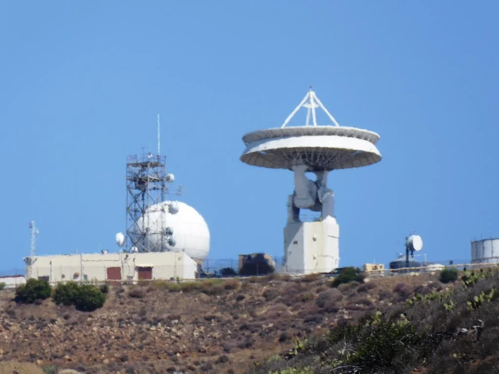
Southwest of the Arroyo Sequit you can see some very large satellite dishes. This is the Triunfo Pass Earth Station satellite tracking station owned and operated by AT&T. The three satellites measure 106 feet across and about 11 stories tall, so they are hard to miss!

Triunfo Pass Earth Station nearby

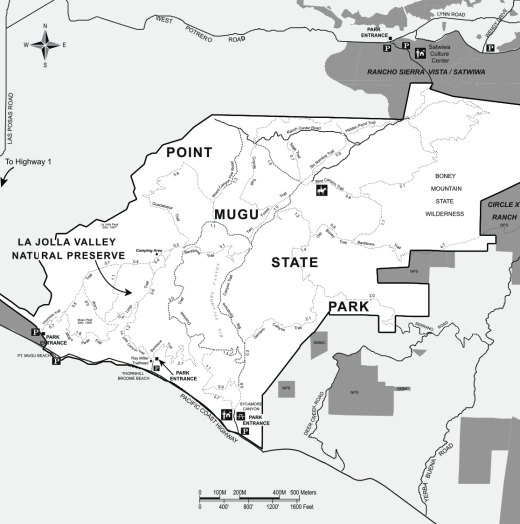
Learn more about the Arroyo Sequit, including a site map, on the National Park Service website at www.nps.gov/samo/planyourvisit/arroyosequit.htm.