Hike to the Teepee, Paradise Falls and Little Cave at Wildwood Park in Thousand Oaks

One hiking experience that everyone in the Conejo Valley and neighboring areas has to experience is Wildwood Park. With 14 trails covering 17 miles in the nearly 1,800 acre park managed by the Conejo Open Space Conservation Agency, there is plenty to see and do in Wildwood Park.

One particularly fun and fairly easy family hike at Wildwood takes you from the main parking lot at the west end of Avenida de los Arboles to the Teepee, Paradise Falls and Little Cave (formerly Indian Cave**). Take the Mesa Trail about a 3rd of a mile until you see the sign below, then take a left.

Another third of a mile and you're at the teepee, where you'll find another clearly marked sign pointing you in the direction of Paradise Falls.

Another third of a mile and you're at the teepee, where you'll find another clearly marked sign pointing you in the direction of Paradise Falls.

WildwoodTeepee3.JPG

Hike down some switchbacks and stairs and you'll see be at the beautiful Paradise Falls. Always a fun place to take the kids, though we're warned not to go into the water, which is largely urban runoff.

ParadiseFalls2.JPG
ParadiseFalls4.jpg

But it is sure popular and enjoyable to sit back and enjoy this year-round waterfall that is so nicely hidden yet so close to hustle and bustle of suburban Thousand Oaks.

ParadiseFalls11.3.13.JPG

The Little Cave is roughly half a mile east of Paradise Falls and can be accessed from the trail directly above the falls or by hiking back up to the teepee and going the other direction.

Trail adjacent to Paradise Falls that takes you towards the Indian Cave.

Trail adjacent to Paradise Falls that takes you towards little Cave.

A quarter of a mile or so and you'll see the sign below.

Little Cave (Formerly Indian Cave) sign

Here's the sign indicating you are near the Indian Cave in Wildwood Park.

Formerly called indian cave

Another 100 yards or so and you've reached the staircase that will take you up to the Cave.

Large enough to actually hang out in, though the last time we walked in there were signs of rodents.

Large enough to actually hang out in, though the last time we walked in there were signs of rodents.

IndianCave5.JPG

You can literally climb through the cave to an exit at the top and hike your way up to a connector trail that will lead you back towards the parking lot. My kids love this and so do I!

** The change in name was approved by the Conejo Open Space Conservation Agency (COSCA) in May 2022. COSCA received a request to change the Indian Creek Trail name earlier that year. On its own, the work "Indian" refers to individuals from India, rather than Native Americans, and thus did not accurately reflect the origin of the people to whom it refers.

The Indian Cave and Indian Cave Trail were renamed Little Cave as it was unclear if the cave was naturally formed and/or historically used by Native Americans.

The Indian Creek Trail in Wildwood Park was renamed Two Springs Trail as two natural springs contribute to the stream flow in this portion of the channel.

Areas in the Santa Monica Mountains Recreation Area Allowing Dogs on Leash

Pooch on leash

Pooch on leash

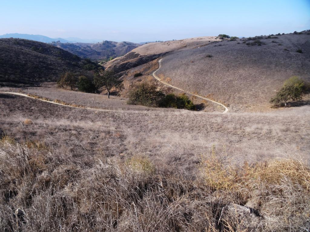
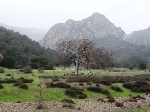
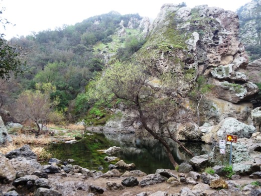
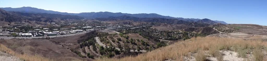
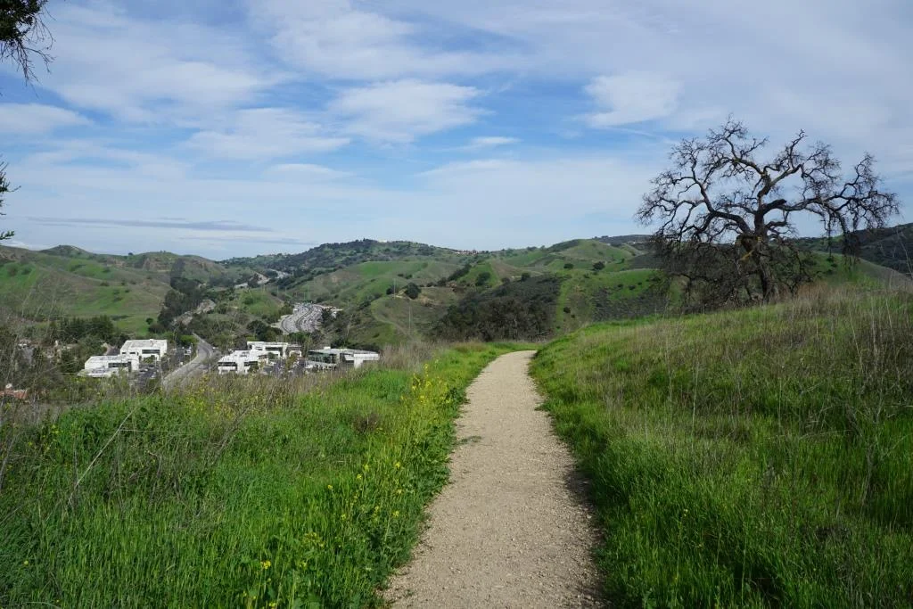
The Santa Monica Mountains National Recreation Area is the largest urban national park in the United States at over 150,000 acres, extending from the Hollywood Bowl on the east to Point Mugu at its western end; including the beaches of Santa Monica and Malibu as well as the canyons and peaks extending north to Simi Valley.

Dogs are allowed in a number of areas within the Santa Monica Mountains, as long as they are on leashes that are no more than 6 feet in length. Here is a listing of areas where dogs are allowed:
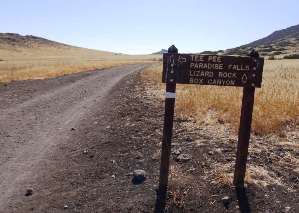
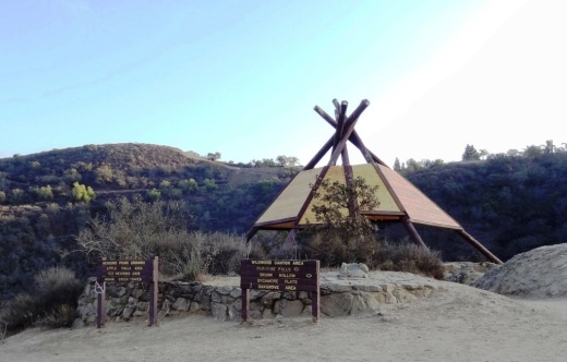
National Park Service: Arroyo Sequit, Castro Crest, Cheeseboro/Palo Comado Canyons, Circle X Ranch, Deer Creek Canyon, Paramount Ranch, Peter Strauss Ranch, Rancho Sierra Vista/Satwiwa, Rocky Oaks, Solstice Canyon and Zuma/Trancas Canyons

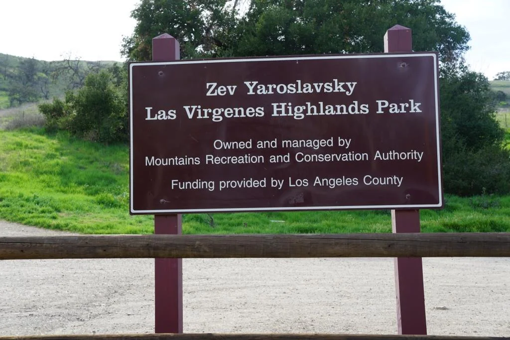
Santa Monica Mountains Conservancy: Calabasas Peak, Dixie Canyon, Escondido Canyon, Franklin Canyon, Fryman Canyon, Marvin Braude Mulholland Gateway Park, Red Rock Canyon Park, San Vicente Mountain Park, Temescal Gateway Park, Wilacre Park

City of Malibu: Charmlee Wilderness Park, Malibu Bluffs
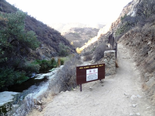
California State Parks: Pets are not allowed on backcountry trails of Topanga, Malibu Creek, Leo Carrillo and Point Mugu State Parks, including the Boney Mountain Wilderness.

Canines are not allowed in the backcountry trails of Point Mugu State Park, including the Boney Mountain Wilderness.

Canines are not allowed in the backcountry trails of Point Mugu State Park, including the Boney Mountain Wilderness.

Dogs on leash are allowed at County Line Beach, Leo Carrillo State Park (on beach north of lifeguard tower 3 and campground only), Point Mugu State Park (on beach and campground only in Sycamore Cove and Thornhill Broome Beach), Will Rogers State Historic Park (day-use areas and loop road only)

L.A. City Recreation and Park District: Coldwater Canyon Park, Laurel Canyon Park, Runyon Canyon Park, Temescal Canyon Park

While you're out on the trails with your pooch, remember to pick up after your dog and bring plenty of water and food for you and Fido.

For more information, visit the Anthony C. Beilenson Interagency Visitor Center in Calabasas or www.nps.gov/samo.

Outside of the Santa Monica Mountains, trails in the Conejo Valley, Simi Hills and other local area locations are generally dog-friendly as long as your furry friend is on a leash. 

Dozens and dozens and dozens of local area trails and hikes

DOG PARKS IN AND AROUND VENTURA COUNTY

VISITING STATE PARKS WITH YOUR DOG

Hike to the Rock Pool at Malibu Creek State Park in Agoura Hills

One of the most popular destinations in Malibu Creek State Park is the Rock Pool, a picturesque place that is easily accessible for all ages.

MalibuCreek_RockPool1.JPG

As seen in the photo above, it can be stunning to see after solid rains but can also dry up. One fun way to get to the Rock Pool is via the Grassland Trail, accessible on Mulholland Highway just west of Las Virgenes Road, where street parking is available.

GrasslandTrail_sign.JPG

Take the Grassland trail, with moderate hills, .7 miles to the Crags Road main fire road/trail in Malibu Creek State Park, and turn right. Alternatively, you can park in the Park's lower parking lot, pay $12 for a bit more secure parking, and take the main trail into the park.

The scenery along the Grassland Trail can be quite beautiful, particularly after the rainy season.

The scenery along the Grassland Trail can be quite beautiful, particularly after the rainy season.

MalibuCreekSP_020815.JPG
MalibuCreek_CragsRoadSign.JPG

Soon you'll see the sign where you can see the Visitor Center is on the left. That's the direction you'll be taking to get to the Rock Pool. Veering to the right gets you to another popular site at the Park, the old M*A*S*H television series set.

You'll see a bridge over the creek (seen below after the winter rains) that takes you to the Visitor Center (open weekends noon to 4pm). The Rock Pool is the trail on the right (west) before reaching the bridge. Look carefully and you may see the little sign that says "Rock Pool."

Malibu Creek free flowing after some decent winter rainstorms

Malibu Creek free flowing after some decent winter rainstorms

Well known Rock Wall used by rock climbers seen in the original Planet of the Apes (1968)

Well known Rock Wall used by rock climbers seen in the original Planet of the Apes (1968)

You'll walk through a shaded area with picnic benches through to a Rock Wall that is popular with local rock climbers. The video above shows scenes from the movie Planet of the Apes (1968) shot in Malibu Creek State Park. From there, the Rock Pool is a short walk further.

MalibuCreek_RockPool.JPG

California State Parks, which manages the Park, warns visitors not to jump or dive into the Rock Pool as it is dangerous. But it is certainly fun to explore and is quite a beautiful area.

RockPool_MalibuCreek.JPG

All told, getting to the Rock Pool is only about 3 miles round trip and worth it. I would put this hike on par with hiking to Paradise Falls in Thousand Oaks' Wildwood Park in terms of ease of access and family enjoyment. Learn more about Malibu Creek State Park at this link.

Mishe Mokwa Trail to Split Rock and Balanced Rock at Circle X Ranch in Malibu

One of my favorite hikes with the kids is Mishe Mokwa Trail to Split Rock at Circle X Ranch in the Santa Monica Mountains above Malibu. 

The first challenge to this excursion is getting there. We are spoiled in the Conejo Valley, with trailheads into the Conejo Open Space pretty much within a mile of anywhere you live. Getting to Circle X Ranch is a bit more time consuming, taking upwards of 30 minutes for the 12 to 13 mile drive from Thousand Oaks via Decker Canyon. But we love it.

The Mishe Mokwa trailhead is the first parking lot off of Yerba Buena Road/Little Sycamore Canyon Road from Mulholland Drive, roughly five miles of twisty, turny roads. There are dirt lots on both sides of Yerba Buena.

(If you drive another .6 miles west/southwest on Yerba Buena Drive, you'll get to the Sandstone Peak trailhead parking area...another must do hike in the Santa Monica Mountains.)

Park and head to the clearly marked trailhead and start your 3 1/2 mile round trip journey to Split Rock. The trail itself is fairly moderate but wear good hiking shoes as there's plenty of rocks you'll be stopping on and over on this hike.

Springtime is my favorite time to hike this trail, when it is still on the cooler side and there's plenty of green surrounding you on the trails. 

About .4 mile into the hike, you'll come to this sign. Continue towards Split Rock. Or you can take this short trail to the Backbone Trail and the more direct path to Sandstone Peak.

About .4 mile into the hike, you'll come to this sign. Continue towards Split Rock. Or you can take this short trail to the Backbone Trail and the more direct path to Sandstone Peak.

You will soon start seeing the Echo Cliffs area and Balanced Rock. The closer you get to Split Rock, the better the view.  Shout out and you will see how Echo Cliffs got its name. And there's no question as to how Balanced Rock received its moniker.

Echo Cliffs and the well known Balance Rock as you head west on the Mishe Mokwa trail.

Echo Cliffs and the well known Balance Rock as you head west on the Mishe Mokwa trail.

There are a few areas where you have to do some low-key rock climbing as you get closer to Split Rock, but they are generally of moderate difficulty.

Split Rock you will clearly see is named after a very large rock that is split in several places, including one crack that is large enough to walk through. There is a picnic table at this shady area and a nearby creek for a peaceful area to take a break.

Split Rock

Split Rock

You can head back at Split Rock or continue onward towards the Backbone Trail and Sandstone Peak for a full six mile hike. For something a bit more daring, you can side track back to Balanced Rock via a trail that is not maintained by the National Park Service.

BalancedRockSign.JPG

We took this trail roughly about a third of a mile to Balance Rock and it does get a bit challenging, between dealing with overgrown areas and finding the right trail (there seems to be multiple trails) and some challenging sections. Not for everyone but certainly do-able. And once you get to this wonderful geologically unusual formation, any frustration with the trail seems worth it.

Balanced Rock is amazing to see from all angles, from both far away and up close.

Balanced Rock is amazing to see from all angles, from both far away and up close.

Once you reach Balanced Rock, you'll be amazed not only by its size but by the amount of shade it renders. We also discovered a "sign in" box in a crevice below the rock.

BalancedRock.JPG

Learn more about Circle X Ranch at www.nps.gov/samo/planyourvisit/circlexranch.htm.

Palo Comado Canyon Trail in Agoura Hills

Palo Comado Canyon is located adjacent to Cheeseboro Canyon in the National Park Service maintained Santa Monica Mountains in Agoura. Palo Comado is part of the 2,308 acre Jordan Ranch owned by comedian Bob Hope that was acquired for $16.7 million in 1993.

The Palo Comado Canyon Trail stretches from the Modelo Trail in Cheeseboro Canyon on the south to the China Flat area in Oak Park to the north, about six miles one way.

View of the Cheeseboro Canyon trailhead and parking are from the Modelo Spur Trail.

View of the Cheeseboro Canyon trailhead and parking are from the Modelo Spur Trail.

There are stretches of the trail that are flat, wide and good for family hikes and outings. This section of the trail is primarily in the area accessible via the Smoketree Avenue (east of Conifer St in Oak Park) and Doubletree Road (east of Clear Haven Dr in Oak Park) residential connectors.

The Palo Comado Trail on the south end connects with the Cheeseboro Canyon Trail in addition to the moderately steep Modelo Trail.

From the main Cheeseboro Canyon Trail, this juncture leads you to the south entry point to the Palo Comado Trail.

From the main Cheeseboro Canyon Trail, this juncture leads you to the south entry point to the Palo Comado Trail.

The Modelo Trail on the south end of the Palo Comado Canyon Trail is a bit steep, with awesome views.

The Modelo Trail on the south end of the Palo Comado Canyon Trail is a bit steep, with awesome views.

The southern section of the Palo Comado Trail has rolling hills with some beautiful views, but is a bit on steep side. The northern section of the trail, about a mile or so above the Doubletree trailhead, is also a moderately grueling climb, from 1,200 feet to 2,140 feet elevation at the China Flat area. In my personal experiences on these sections of the trail, mountain bikers are the vast majority. But don't let that stop you if you're up for a long, mostly quiet, hike!

The southern end of the Palo Comado Trail has rolling, moderately steep hills.

The southern end of the Palo Comado Trail has rolling, moderately steep hills.

Learn more about Cheeseboro/Palo Comado Canyon are at THIS LINK.

Views Abound at the Zev Yaroslavsky Las Virgenes Highlands Park in Calabasas

In greener times (April 2018).

In greener times (April 2018).

The Zev Yaroslavsky Las Virgenes Highlands Park is located on Las Virgenes Road, just south of Mureau Road and north of Highway 101 in Calabasas.

In greener times (April 2018).

In greener times (April 2018).

This is not a park in the traditional sense, with grass, a playground and BBQs. This park is nearly 200 acres of grasslands dotted with oak trees facing drivers on the 101 as they reach the bottom of the Calabasas Grade.

A steep trail takes you to peaks that offer panoramic views towards the Santa Monica Mountains, Agoura Hills, Calabasas,  Simi Hills and beyond.

View from near the top facing south.

View from near the top facing south.

These photos were taken in November 2015, after four years of drought. After the winter rains, these hills green up quite nicely.

The land is also known as "Firehouse Hill" as it is situated next to Los Angeles County Fire Station 125 on Las Virgenes Road.

To access the park from the 101 coming east, you go north on Las Virgenes and there's a small, dirt parking lot on the left. Problem is, there's no left hand turn lane to the lot and there are "No U Turn" signs for like a mile. So you could make right on Mureau Road and turn around and make a left turn back onto Las Virgenes to get to the parking area. Or you can drive half a mile north and do a U turn at Thousand Oaks Blvd.

This land was acquired by the Mountains Recreation and Conservation Authority (MRCA) for $6.25 million in 2010. It was previously owned by Fred Sands and at one point was owned by Bob Hope. 

The park was named in honor of former long-time L.A. County Supervisor and City Councilman Zev Yaroslavsky, who retired from office in 2014. Zev worked with a coalition of parties to make this preservation of land happen.

About MRCA: MRCA is a local government public entity established in 1985. It is a local partnership between state agency Santa Monica Mountains Conservancy the Conejo Recreation and Park District and the Rancho Simi Recreation and Park District. The MRCA is dedicated to the preservation and management of local open space and parkland, watershed lands, trails, and wildlife habitat. MRCA manages and provides ranger services for almost 72,000 acres of public lands and parks that it owns and that are owned by the Santa Monica Mountains Conservancy or other agencies and provides comprehensive education and interpretation programs for the public.

LVHighlands4.6.18_2.JPG

Peace, Tranquility and Views at the Conejo Valley Botanic Garden in Thousand Oaks

Looking for a quick retreat in the center of Thousand Oaks? Visit the Conejo Valley Botanic Garden, adjacent to Conejo Community Park at 400 W. Gainsborough Road.

The Conejo Valley Botanic Garden is a 33 acre sanctuary on a hill that overlooks the Conejo Valley. You will be able to rewind in peace here while enjoying the views and solitude.

Conejo Valley Botanic Garden New Sign
Signs throughout the gardens help visitors find their way around.

Signs throughout the gardens help visitors find their way around.

There are several miles of trails at CVBG that lead you to a variety of sections, including a Salvia Garden, Butterfly Garden, Herb Garden, Bird Habitat, Australian Garden, Desert Garden, Rare Fruit Orchard, Japanese Style Tranquility Garden, Oak Tree Grove, Trail of Trees and more.

Japanese Tranquility Garden is back here.

Japanese Tranquility Garden is back here.

Beauty and color found in the Desert Garden.

Beauty and color found in the Desert Garden.

Benches abound throughout the Conejo Valley Botanic Gardens.

Benches abound throughout the Conejo Valley Botanic Gardens.

The views from up here are nothing short of spectacular. Feeling stressed? Do the 10 minute walk up the hill, where you can watch civilization below. There are several dozen benches as well as a few picnic benches available.

Views beyond the surrounding chaparral. The sounds of the 101 freeway and civilization down below are actually relaxing from up here.

Views beyond the surrounding chaparral. The sounds of the 101 freeway and civilization down below are actually relaxing from up here.

Interesting cactus display in the Desert Garden.

Interesting cactus display in the Desert Garden.

On Sundays (with the exception of some major holidays), the Kids Adventure Garden, adjacent to the Botanic Garden, is open to the public from 11am to 3pm. The Kids Adventure Garden features fun paths to follow, a tree house and more, as well as hiking and access to a creek. Fun place for young kids' birthday parties too!

The Kids Adventure Garden adjacent to CVBG is open only on Sundays from 11am to 3pm.

The Kids Adventure Garden adjacent to CVBG is open only on Sundays from 11am to 3pm.

To learn more about the Conejo Valley Botanic Garden, visit www.conejogarden.org. Open 7 days a week, sunrise to sunset; Closed Easter, July 4th, Thanksgiving, Christmas Eve, Christmas Day, New Year's Eve and New Year's Day. Also closed when it is rainy, muddy and/or very windy.

CVBG is a 501(c)3 non-profit run entirely by volunteers. To maintain these gardens is a lot of work and costs are involved, so consider making a donation.