Hiking to the Waterfall in Pt Mugu State Park from Rancho Sierra Vista/Satwiwa
/One of the most popular hikes in the Rancho Sierra Vista/Satwiwa open space in Newbury Park is to a small waterfall in the adjacent Boney Mountain Wilderness. The hike is about 3 1/2 miles round-trip from the Satwiwa Native American Indian Culture Center and is a moderate hike that can be done by all ages.
Keep in mind that in drought years, there’s sometimes not more than a trickle flowing down this waterfall, while in rainier years like 2023-2024, the waterfall is quite active. In either case, it’s a fun hike to do.
You have two primary options for where to start the hike. You can drive into the Rancho Sierra Vista park entrance on Via Goleta in Newbury Park and park in a lot that is a brief walk to the Culture Center, or you can park at the Wendy Drive and Potrero Road trailhead and add an another two miles, round trip, to your adventure.

The entrance to Rancho Sierra Vista/Satwiwa at Via Goleta, 1 mile west of Reino Road.

The trailhead where Wendy Road ends at Potrero Road in Newbury Park

The Satwiwa Native American Indian Culture Center is a small building open from 9am to 4pm on weekends (as of April 2024) where you can learn about native Chumash items and local wildlife.

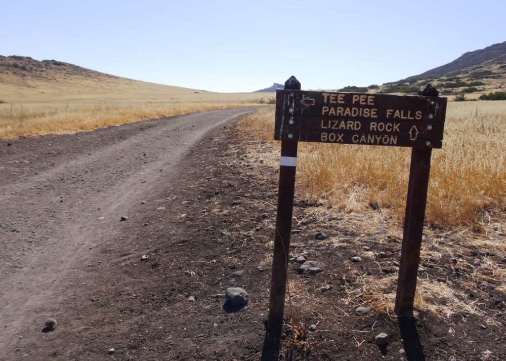
Next to the Culture Center, you'll see multiple paths, all of which can get you to your destination, but the most direct path is the Satwiwa Loop Trail seen on the left, which crosses through a meadow that can be quite green and beautiful in late Winter/early Spring and dry and brown the rest of the year. An alternate route is on the right of the picture above - the Big Sycamore Canyon Trail (paved road) to the Boney Mountain Trail, where you'll take a left.
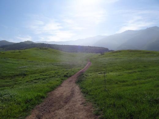
Satwiwa Loop Trail section that takes you diagonally through the meadow. Seen here when it is nice and green.
At the end of the meadow, continue straight up a fairly steep hill, where on the right hand side you'll see the Sycamore Canyon Overlook bench shown below.

bench on sycamore canyon overlook
Hike up the moderately steep and rocky path up the hill behind the bench and you'll reach another fork in the road. If you veer left at this juncture you'll be on the Hidden Valley Overlook Trail within Rancho Sierra Vista/Satwiwa. Stay to the right and you'll be entering the Boney Mountain Wilderness area within Point Mugu State Park.

Sign that shows you the Hidden Valley Overlook Trail is on the left.

Veering right into the State of California managed Pt Mugu State Park; as you can see, dogs are not allowed in the back country area of the park.
This trail is referred to as Danielson Road, named after the last private owner of these lands. The path down into the canyon is seen below (taken from a higher point en route to the Danielson Monument).

View of the initial section of Danielson Road trail down into the canyon; this is the path you will be taking towards the waterfall.
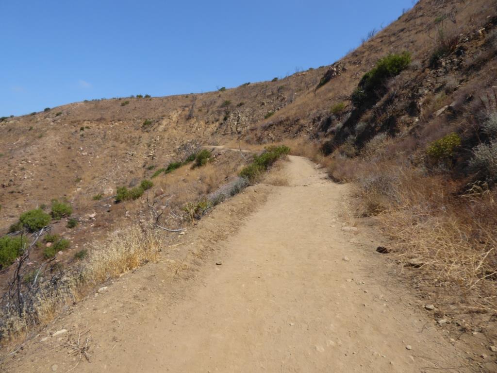
Danielson Road is a bit on the steep side but I see folks young and old walking up and down this section all the time. Seen here in very dry conditions.

THIS IS THE OLD SIGN, WHEN IT WAS CALLED DANIELSON ROAD (PRIOR TO 2024)

NEW SIGN IN 2024 SHOWING THE “OLD CABIN TRAIL” INSTEAD OF DANIELSON ROAD.
After .4 mile, you will reach the bottom of the canyon and see the sign above, the final sign indicating you are on your way to the Waterfall Trail. Then you will cross a creek bed, which can have water in it after the rains. The photo taken below in January 2015 shows minimal moisture, making it easy to cross. Some years you may have to rock hop your way a bit over the creek.

Creek bed crossing on the way to the waterfall IN 2015

Creek Crossing in April 2024.
After you cross the creek, the remainder of the trail to the waterfall is single track. Be careful not to come in contact with poison oak often seen on the sides of the trails. For this reason, I would generally not recommend strollers be taken up here.
Soon you will reach the final fork in the road. Go straight and soon you will be at the waterfall. To the right, the Old Cabin Trail (formerly Danielson Road Trail) continues upward to the Danielson Monument.


the waterfall in april 2024.